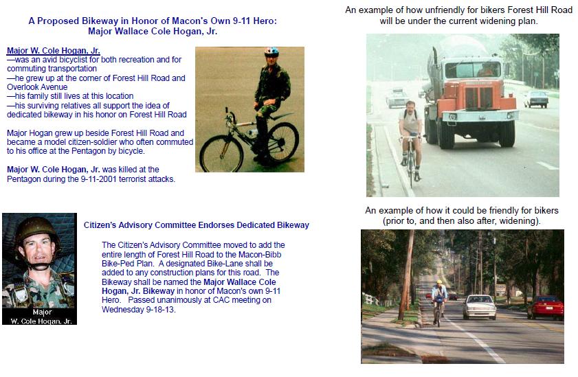
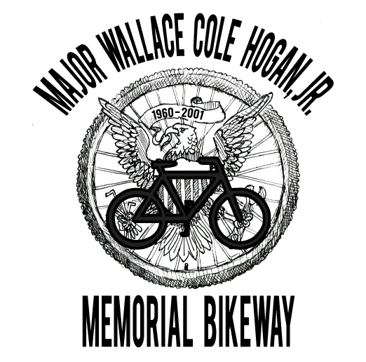
A proposed Bikeway in honor of Macon's own 9-11 hero:
 |
||
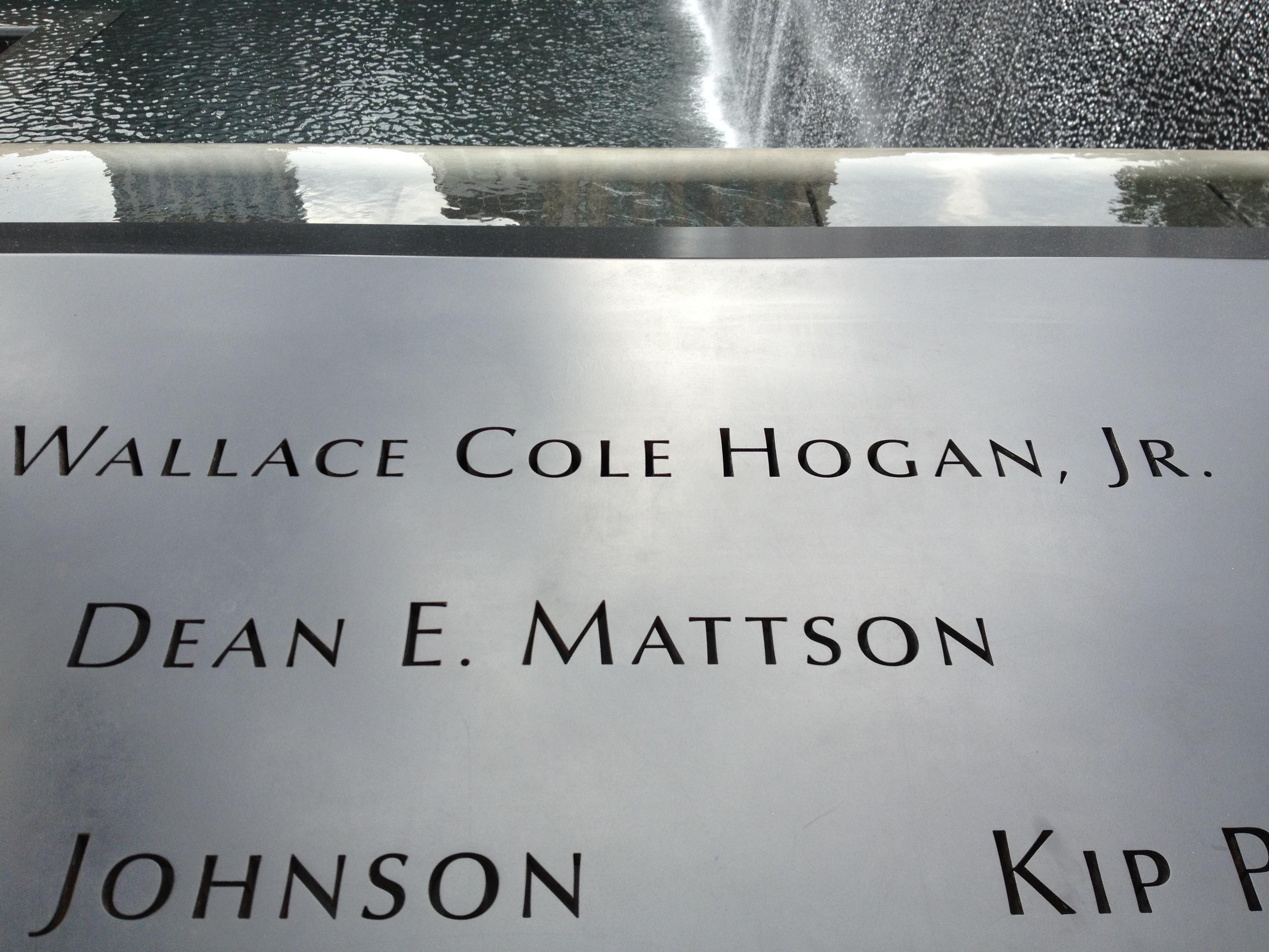
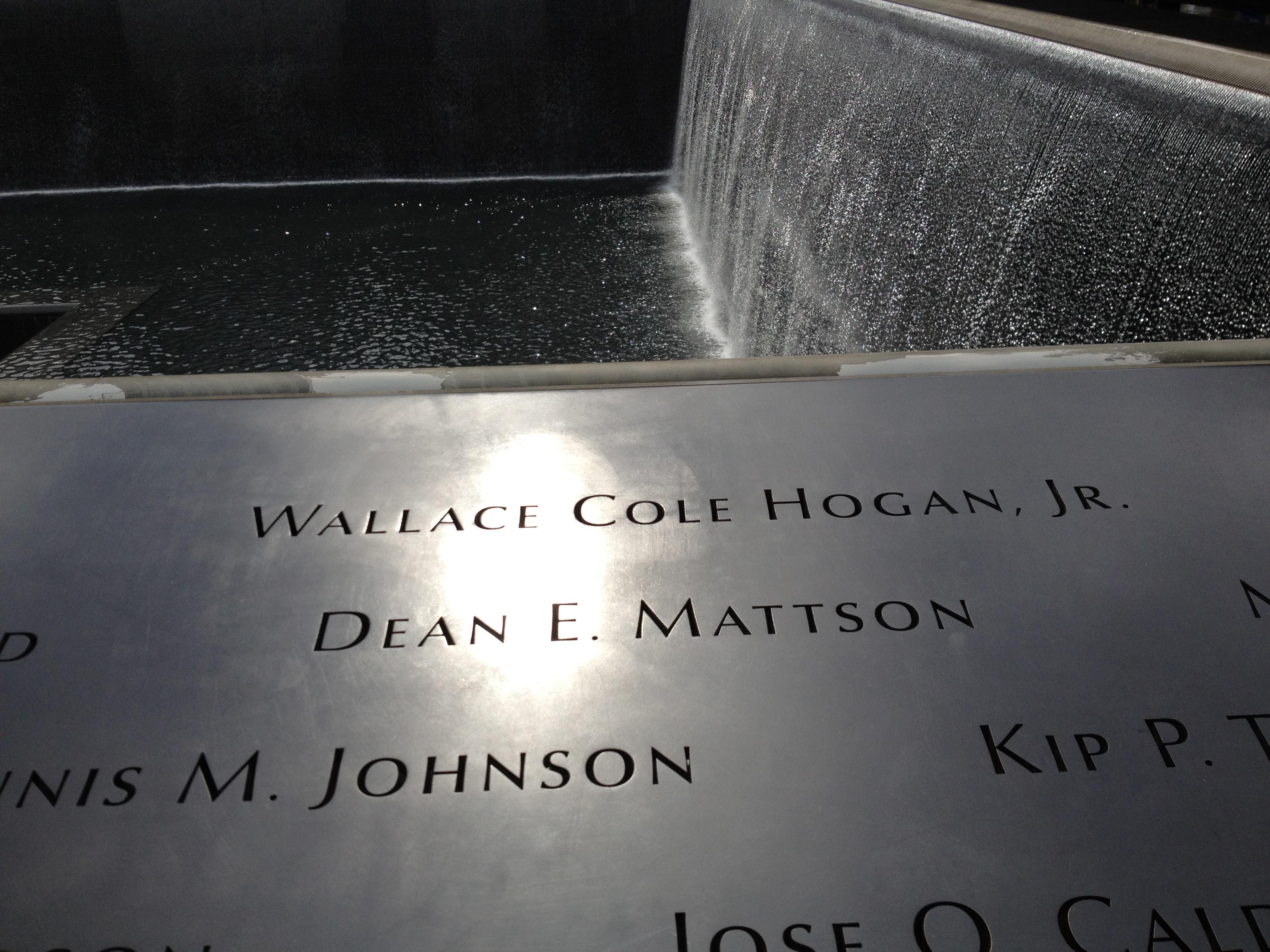 Names surround the waterfalls and reflecting pools at the World Trade Center - 911 Memorial - in New York City (click for large image of different view) |
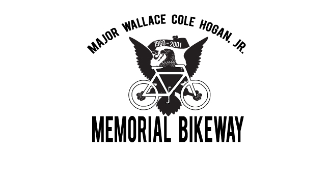
Major Wallace Cole Hogan
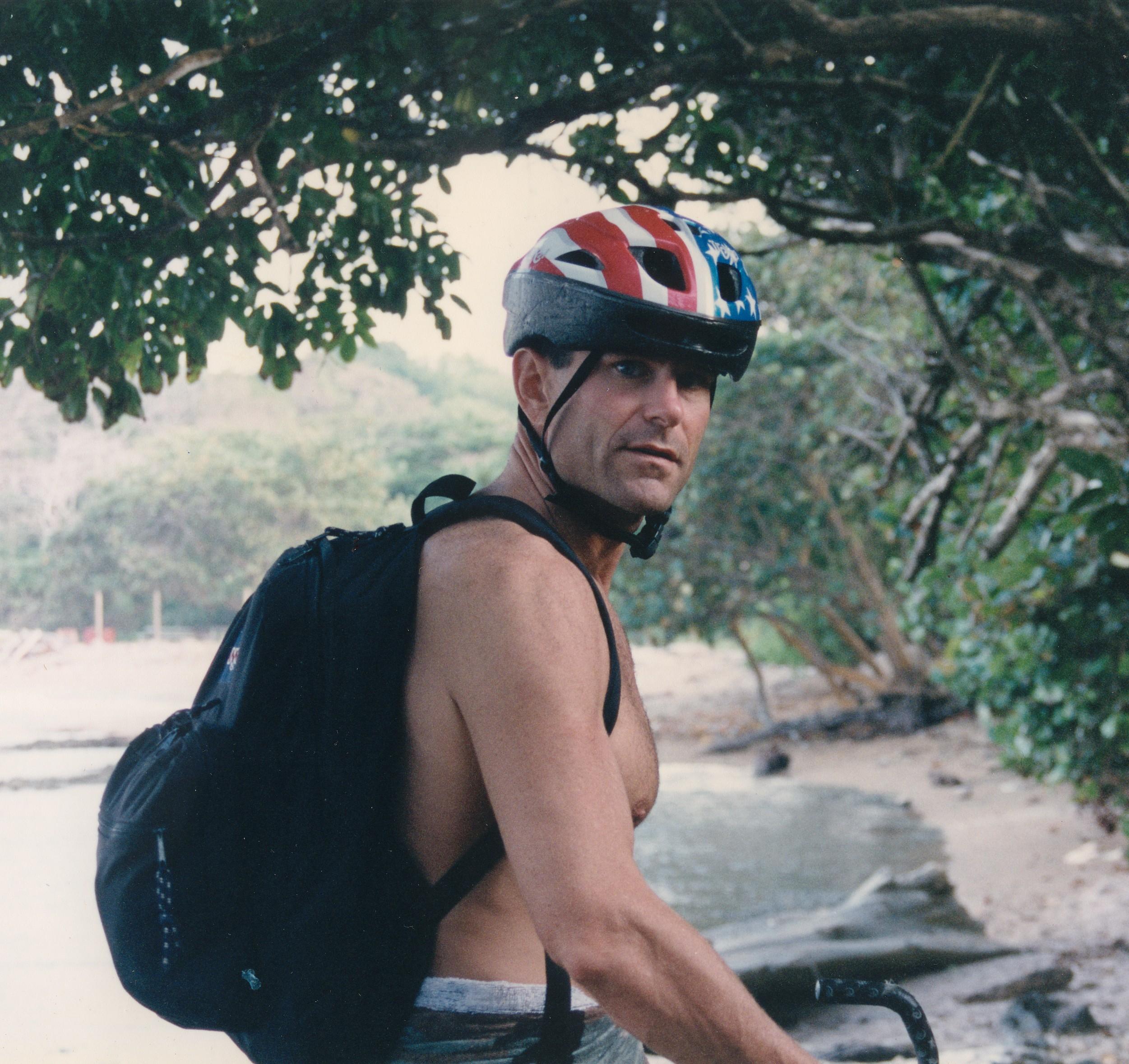
Major Wallace Cole Hogan biking in Panama ~1996.
.....
Download the 2-page Flyer below (click) to print your own promotional material-
 *** |
||
|
Macon
Area
Transportation
Study
memberships By-Laws Bike-Peds Plans Caution Macon 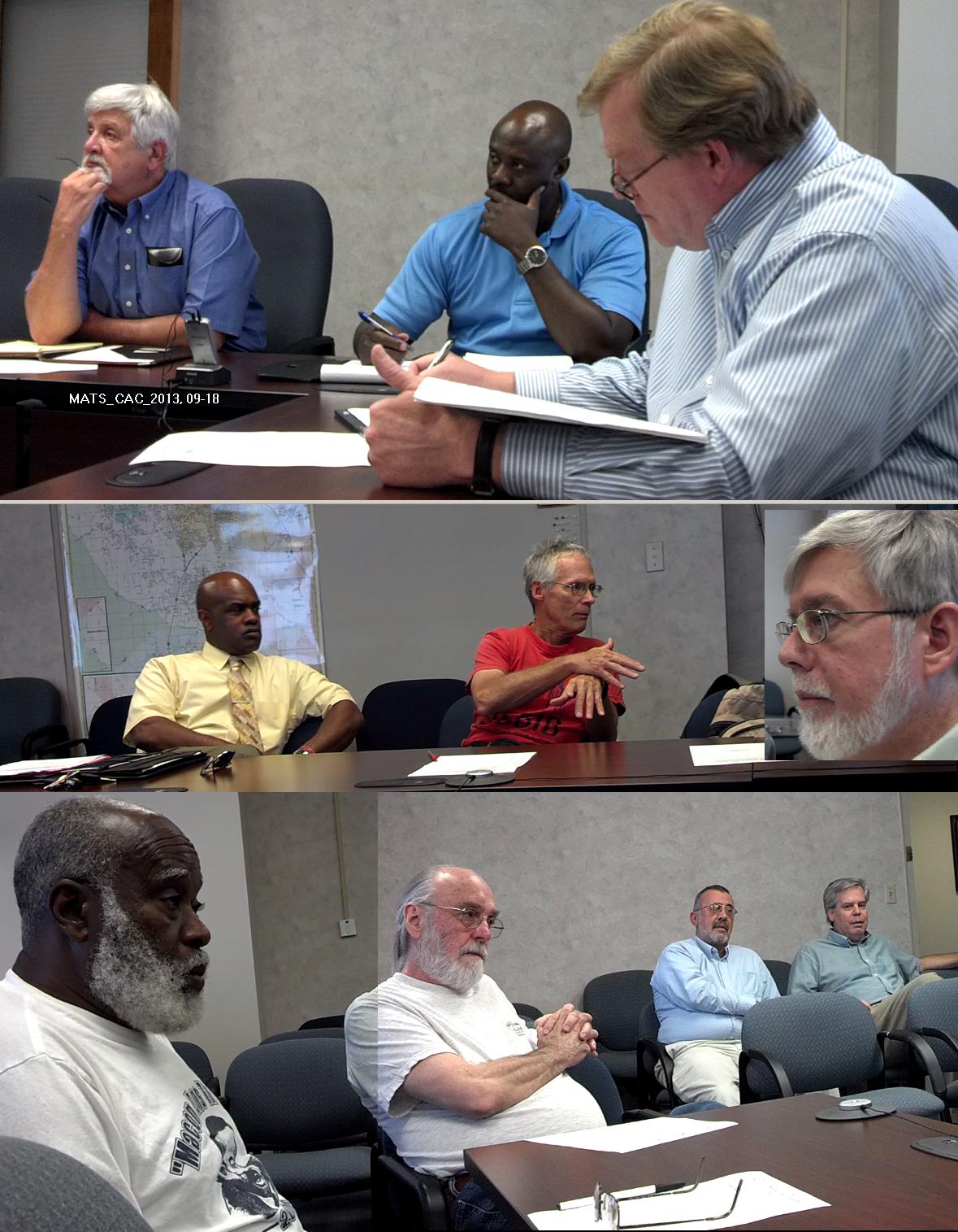 Citizens Advisory Committee meeting on September 18, 2013 |
||
Passed unanimously at CAC meeting on Wednesday 9-18-13: Motion - The CAC moves to add the entire length of Forest Hill Road to the Macon-Bibb Bike-Ped Plan. A designated Bike-Lane shall be added to any construction plans for this road. The Bikeway shall be named the Major Wallace Cole Hogan Bikeway in honor of Macon's own 9-11 hero. 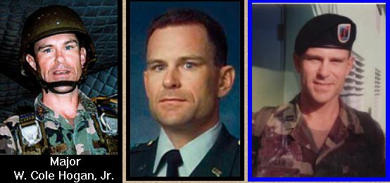 (Photo sources 1, 2, 3) Major Hogan grew up beside FHR and became a model citizen-soldier who often commuted to his office at the Pentagon by bicycle. 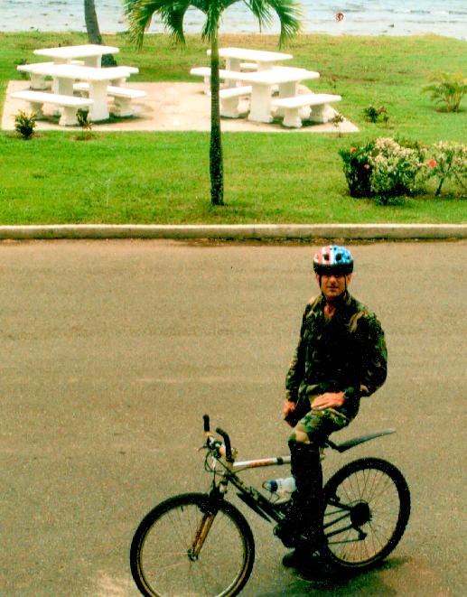 Cole Hogan -avid bicyclist for both recreation and for commuting transportation - grew up at the corner of Forest Hill Road and Overlook Avenue - family still lives at this location - family supports the idea of dedicated bikeway here. Major Cole Hogan was killed at the Pentagon during the 9-11-2001 terrorist attacks. Also, the Citizen's Advisory Committee moved for -- The bike projects along Wimbish Road and Rivoli Drive to be added back into the TIP. 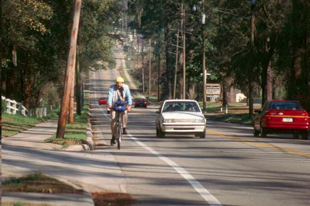 Bike Lane & Detached Sidewalk Photo from: www.pedbikeimages.org BINA: Giving a little space makes our roads safer Published: November 3, 2013 http://www.macon.com/2013/11/03/2753002/bina-giving-a-little-space-makes.html By GAYLE BINA Special to The Telegraph It has happened again. Another bicyclist has died riding a bike on the highways of Central Georgia. In the early 2000s, “Shape” magazine voted Macon as “the least fit city in the nation.” Since then not much has happened to improve the opportunities for people to get out and exercise. The Ocmulgee Heritage Trail has added a few miles to enjoy the beauty of our area, but a tornado destroyed a once nice path around Macon State College. Otherwise, where do people go to run, jog, walk, push strollers or ride bicycles? They head to the streets and highways that are shared with often distracted motorists. More and more people are turning to the rolling roads of Monroe County to enjoy the beauty of rural Georgia and get away from traffic. However, many motorists seem to resent sharing the roads with these slower moving bicyclists. If you are a motorist, please remember that your friends and neighbors on the bikes have a right to be on the roads also. Bikers are dodging the broken road edges on narrow roads with no safety shoulders, while dodging potholes, rocks, stones, sticks, snakes, critters, road kill, runners, joggers, walkers and slippery lines painted on the roads. We are traveling between a few miles an hour on a leisurely ride to 15 to 20 miles an hour on a fast ride. Often we ride with others for fun and safety. We are not in a 4,000 pound vehicle but on a 15-pound bike with skinny tires that easily go flat. We do not have a 300-horsepower engine pushing us up hills, but a one-man/woman power set of legs doing the work. The hills can be a challenge, which often requires us to slow down and dig deep to conquer. So, please, remember to slow down when approaching us from the rear. Unless you have your lights on, it is difficult to see you in the tiny mirror on our handlebars. Pass carefully as we are dogging items in/on the road. Give us at least three feet clearance for safety allowing for a zig or zap in our path. Please tell your teenagers, who are always late for school in the morning, to slow down and give the bikers some room. And please allow a biker access to cross the road at an intersection. It is very difficult to stop and start quickly, although bicyclists are required to obey all traffic rules. And thank you to everyone who does wave us on and passes safely. Until our local leaders recognize the economic impact of developed recreational pedestrian paths, i.e. the 60-mile Silver Comet Trail near Atlanta or the 40-mile River Walk in Columbus that attracts thousands daily, we will have to share our roads with each other in Central Georgia. Believe me, we would love to be riding on a pedestrian bike path and off of the roads. Until then, we thank you for sharing the roads with us and ask you to drive carefully and give bikers space on the roads. Gayle Bina, is the assistant director of International Medical Programs at Mercer University |
||
History: The current Bike-Ped Plan was created in 2003. It is web-posted here: http://www.macon-bibb.com/MATS/Bike-Ped-2003.pdf It is extremely outdated by referring to the " major regional shopping centers" as being the old mall. Also the NW Parkway is dead. And since 2008, vehicular traffic nation-wide is down. Obesity rates and sedentary lifestyles are up. Americans standard of living has decreased for 96% of Americans. Owning a car has become increasingly more expensive. Commuting by bicycle has become increasingly attractive for health and economic reasons, but there are very few routes in Macon-Bibb that are reasonable safe for biking. FHR is named as part of the Vineville/Charter Hospital Route - #1 -page 2-3B the defunct NW Parkway is mentioned on page 30-32A "Log Cabin Drive This project will entail the widening of Log Cabin from two to four lanes with turn lanes as needed from Mercer University Drive to Hollingsworth Road. This project is contiguous with the Northwest Parkway project. The construction schedule is in long range which means that the start date could be FY10 or earlier. Project Implication This project can create an alternative route from North Macon via Napier Avenue and the Northwest Parkway to the major regional shopping centers. Currently, the Columbus Road route is the only designated route to the shopping areas." p 30A This image from page 8C of the Bike-Ped Plan. 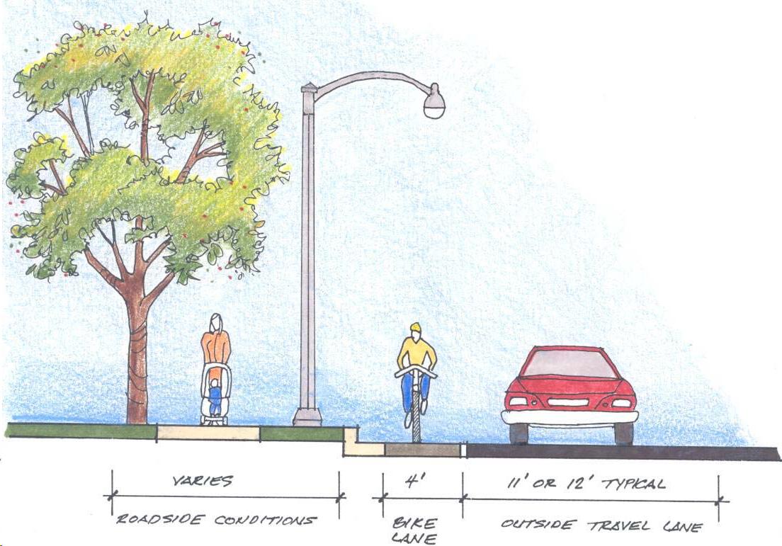 It is similar to an alternative road design for Forest Hill Road - proposing traffic calming, and safer walking and biking with more separation between the cars and the bikers and pedestrians. |
||
 |
||
PDF of the 2003 Bike/Ped Plan.
|
